For decades, satellite navigation has been one of the most transformative technologies in maritime navigation. Systems such as GPS, GLONASS, Galileo and BeiDou made it possible to determine a vessel’s position anywhere in the world within seconds. Modern bridge equipment — from ECDIS to AIS — relies heavily on this continuous stream of Position, Navigation and Timing (PNT) data.
But there is a growing concern across the maritime industry: what happens when GNSS cannot be trusted?
GNSS disruption is no longer a theoretical risk. In a 2026 Royal Institute of Navigation (RIN) survey (271 responses; reported margin of error ±6%), 79% of respondents said they had personally experienced GNSS interference (jamming or spoofing), and 75% felt the situation is not improving. What makes this especially challenging for bridge teams is detectability: 20% of respondents were not confident that their systems make it easy to detect GNSS jamming, and 27% were not confident about detecting GNSS spoofing.
The picture is also regional. For example, among those who had operated in the Persian Gulf / Straits of Hormuz, over 80% reported experiencing GNSS or AIS interference.
So, understanding these threats is becoming essential for modern navigators.
Jamming vs. Spoofing: What’s the Difference?
Although both affect satellite navigation, jamming and spoofing are fundamentally different phenomena.

Jamming occurs when interference overwhelms the weak satellite signal received by a GNSS receiver. Since GNSS signals arriving from space are extremely weak, even relatively small interference sources can disrupt them. The result is usually a loss of position data or unreliable navigation information.

Spoofing, however, is more deceptive. Instead of blocking signals, spoofing involves broadcasting false GNSS signals that imitate real satellite transmissions. A receiver may accept these signals as legitimate and calculate an incorrect position. In other words:
- Jamming makes the receiver stop working.
- Spoofing makes the receiver believe something that is not true.
Spoofing attacks are more complex and often harder to detect, especially if the false signals are introduced gradually.
A related concept is meaconing — recording real signals and rebroadcasting them, potentially causing receivers to calculate position/time from the recording location/time rather than the vessel’s true state.
Why GNSS Is Vulnerable
Despite its global reliability, GNSS was never designed to be a fully resilient navigation system in the presence of deliberate interference. Satellite signals travel more than 20,000 kilometers from space before reaching a receiver on board a vessel, and by the time they arrive they are extremely weak. As a result, even relatively low-power radio transmissions can mask or distort the signal received by shipborne equipment.
This vulnerability explains why jamming attacks can be relatively simple to perform, while spoofing attacks can manipulate a receiver into calculating an incorrect position without immediately triggering alarms. In practical terms, jamming may cause a loss of position data, whereas spoofing may produce hazardously misleading information that appears plausible to the navigator.
This means that:
- relatively weak radio interference can disrupt reception
- portable jamming devices can affect receivers over a wide area
- deliberate signal manipulation can mislead navigation systems
In addition, many modern ship systems depend on GNSS inputs, including:
- ECDIS position updates
- AIS vessel position reports
- autopilot reference data
- timing systems used across bridge electronics
When GNSS integrity is compromised, the impact can therefore propagate across several systems at once. A single interference event may affect not only the vessel’s position on the chart but also traffic awareness, automated steering and other navigation-support functions.
Detecting GNSS Interference on the Bridge
One of the key challenges for navigators is that GNSS interference may not always be immediately obvious. A complete loss of signal can be detected quickly, but gradual position errors or spoofing attempts may appear plausible.
For this reason, systematic cross-checking of navigation data remains a fundamental bridge practice.
Several indicators may suggest GNSS disruption:
- differences between GNSS position and dead reckoning (DR)
- inconsistencies between radar overlay and charted coastline
- unexpected changes in vessel movement or course
- mismatches between echo sounder depth and charted depth
Such discrepancies may provide early warning that satellite navigation data should not be trusted.
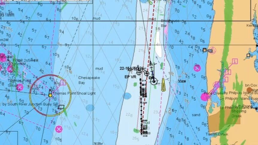
ECDIS Integrity Checks
ECDIS provides several tools that help navigators verify the integrity of GNSS-based position data. When interference is suspected, the following checks can help confirm whether the vessel’s displayed position remains reliable:
- use the position difference alarm when a second EPFS is connected
- use radar overlay and ARPA plots of charted objects in coastal waters to confirm position
- compare radar bearing and distance to charted objects with the ECDIS position and perform manual fixes
- compare COG and SOG with gyro heading, magnetic heading and log speed
- use the Dead Reckoning (DR) function when appropriate
These checks help reveal inconsistencies between GNSS data and other navigation sensors.
Navigating Without GNSS
If GNSS disruption is suspected, navigators must rely on alternative methods of position fixing.
Immediate actions may include:
- using a secondary independent positioning source
- using another GNSS constellation (if available)
- reverting to DR or estimated position (EP) mode
- manually plotting positions on charts
- increasing sea room and maintaining safe distances from hazards
Traditional navigation skills remain critical in these situations. Radar navigation, visual fixes, depth monitoring and parallel indexing can provide reliable situational awareness when satellite navigation becomes unreliable.
Building Resilience in Modern Navigation
From a technical perspective, several approaches can improve resilience against GNSS interference.
These include:
- multi-constellation GNSS receivers using multiple satellite systems
- integration with inertial navigation systems (INS or IMU)
- advanced antenna technologies that mitigate interference
However, technology alone cannot eliminate the risk. Human competence and operational procedures remain essential.
Training crews to recognize and respond to GNSS anomalies is becoming increasingly important. Regular drills that simulate GNSS failure help ensure that bridge teams can maintain safe navigation even when satellite positioning becomes unreliable.
A Reminder for the Maritime Industry
Satellite navigation has dramatically improved maritime safety and efficiency. Yet the increasing dependence on GNSS has also created a new vulnerability.
The reality is that GNSS should be treated as a powerful navigation tool — not as a single source of truth.
Professional navigation has always relied on redundancy, cross-checking, and situational awareness. As interference incidents become more frequent, these principles are more relevant than ever.
The challenge for today’s maritime professionals is not simply learning to use GNSS — but learning how to navigate safely when it fails.
Further learning
You may find a full RIN report and more useful sources here: https://www.steer-project.org/t/gnss-interference-useful-links-for-seafarers/25
For a more detailed explanation of safety parameters, passage planning techniques, and ECDIS risk management, see the course: Passage Planning with ECDIS


Comments